Research & Engineering

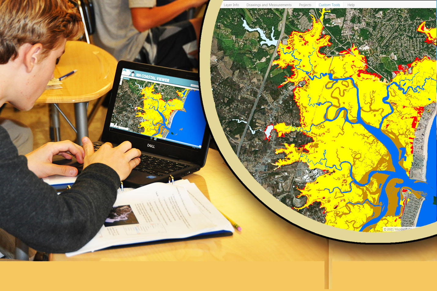
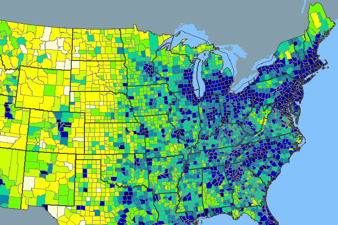
The GSSC is involved in multiple areas of research within the Natural, Social, Geospatial, Information, and Perceptual Sciences.  From studying the effects of sea level rise, to the change in dialects over space and time, to how humans interact with geospatial systems, to gaining new understandings of how best to store and use geospatial data, the GSSC has a wide array of expertise to assist you in your research projects.

See all of our areas of research below and contact us here to begin building a collaboration between the GSSC and your work.

Natural Science

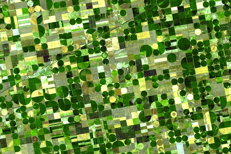
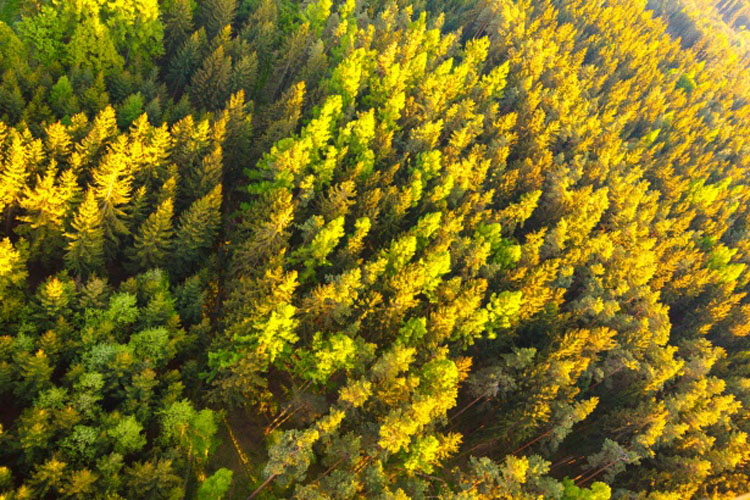
Our research efforts within the Natural Sciences include:

  • Coastal Resiliance Remote Sensing, Analysis, and Mapping
  • Land Use and Land Cover Change Detection and Analysis
  • Ecosystem Service Monitoring and Analysis
  • Sea Level Rise Detection and Analysis
  • Climate Change Monitoring and Analysis
  • Forest and Landscape Fragmentation Analysis
  • Forest Fire Mapping and Analysis
  • Eco-Epidemiology Studies and Analysis
  • Habitat Mapping and Analysis
  • Water Systems Mapping and Analysis

Contact us here to establish a Natural Science research collaboration.

Social Science

Though our research efforts within the Social Sciences to date include the following, staff at the GSSC are always looking to collaborate with interesting geospatial rich projects with colleagues in Geography, History, Political Science, and the Humanities:

  • Crowd Source Mapping and Data Capture
  • Cultural Heritage and Preservation Mapping and Analysis
  • Historical Fisheries Mapping and Analysis
  • Historical Architecture Mapping and Analysis
  • Perceptual Dialectology Mapping and Analysis
  • Demographics Mapping
  • Political Campaign Data Mapping


Contact us here to establish a Social Science research collaboration.

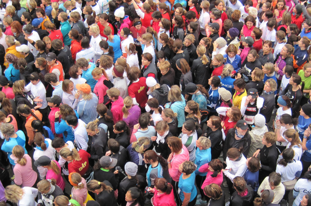
Image by: Richard Allaway

Geospatial Science

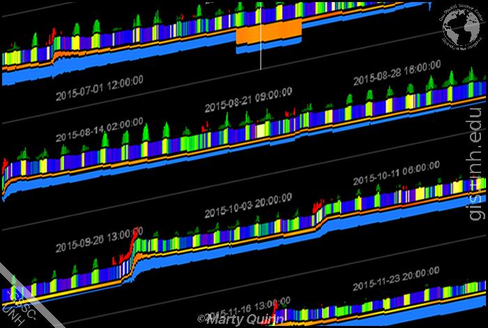
The GSSC is involved in multiple areas of research within the Geospatial Science.  These include:

  • Decision Support Tools
  • ESRI Server and Portal Implementations
  • Open Source GIS Tools Research and Engineering
  • Gazetteer Construction, and Creation
  • Metadata Ingestion and Crosswalk Tool Development
  • Timeseries Analysis Tools
  • Pixel Extraction Tools
  • Time Slider and Movie Maker Tools
  • Symbology and Data Classification Tools
  • Open Source Web Mapping Technologies
  • Web Mapping Servers and Services
  • Data Query and Discovery Tools
  • Open Source Crowdsource Mapping Tools


Contact us here to establish a Geospatial Science collaboration.

Information Science

Our research efforts within the Information Sciences include:

  • Data Management Hardware and Software Solutions
  • Big Data Transfer and Storage Solutions
  • Compression and Backup Solutions
  • Data Authentication and Permissions Systems
  • Database Ingestion Solutions
  • Metadata Management Tools.
  • Data Pushes to National Archives
  • DOI Creation Services


Contact us here to establish an Information Science collaboration.

Perceptual Science

The GSSC is involved in multiple areas of research within the Perceptual Sciences.  These include:

  • Geospatial Data Virtual Reality Mapping
  • Human Computer Interactions
  • Dynamic Data Sonifications
  • Cutting Edge Data Visualizations
  • Data Perception for the Visually Impaired
  • Geospatial Perceptual Analytics

Contact us here to establish a Perceptual Science collaboration.

Education

GSSC faculty and researchers participate in GSS teaching and learning research activities that include:

  • GSS STEM Educational Assessments
  • Use of Learning Based Research Principles
  • In Class Student Surveys
  • GSS Educational Tool Development
  • GSS Tool Comparisons

Contact us here to establish an education research collaboration