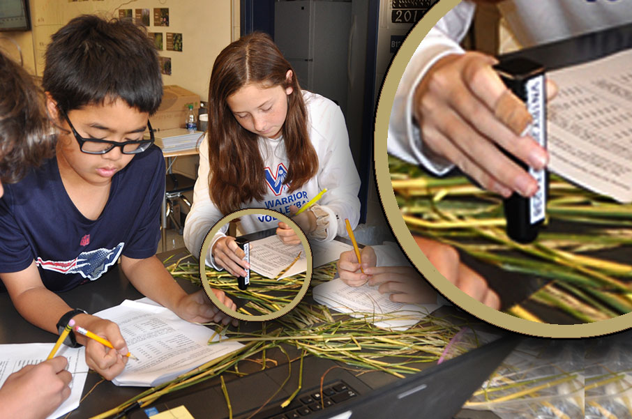
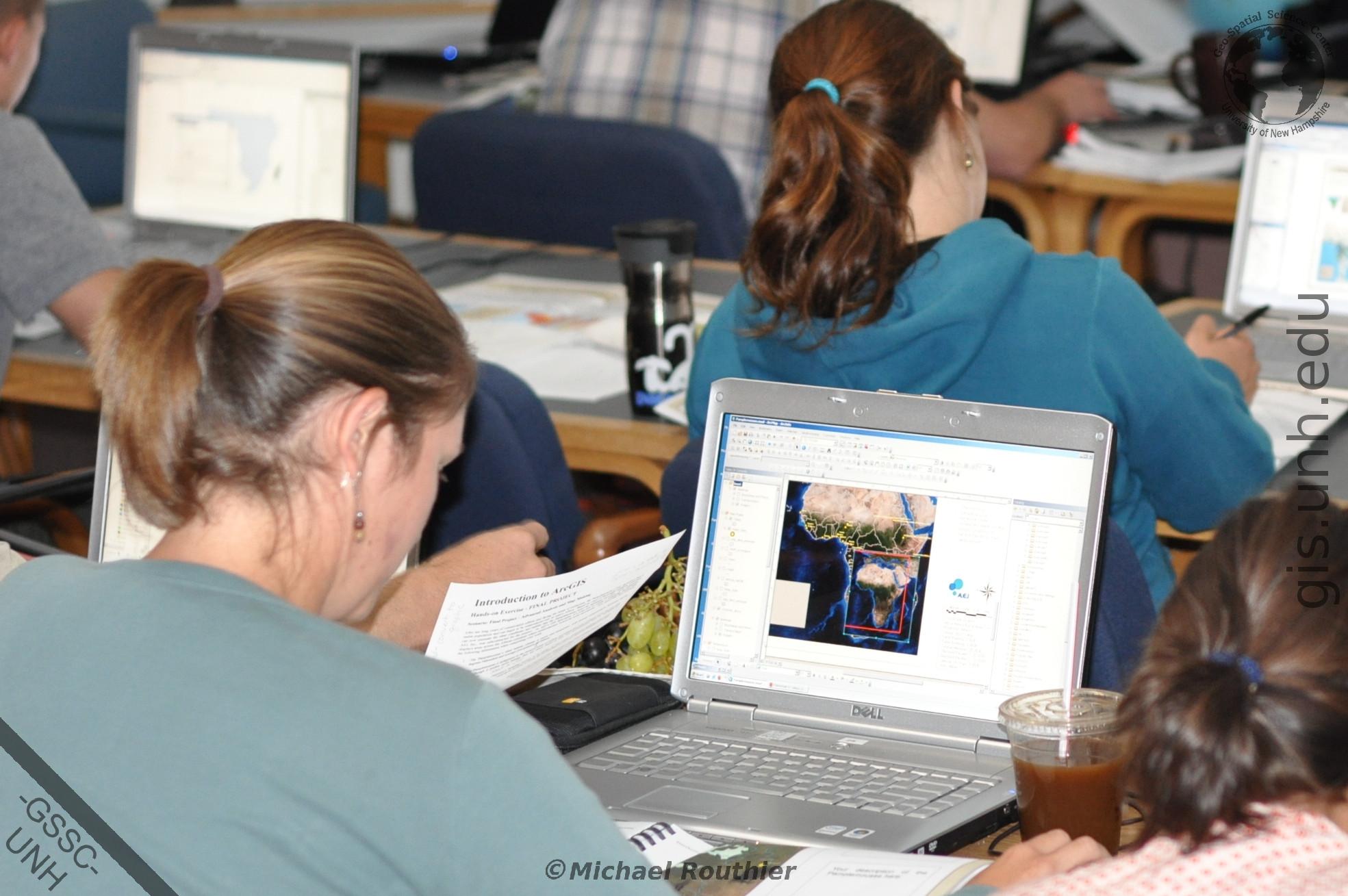
GSSC faculty and researchers participate in multiple education and outreach activities such as:
See our education and outreach activity links to the left or contact us here to find out more about how you or your organization can participate.
GSS Graduate Certificate http://gss.unh.edu
The Geospatial Science Professional master’s program at UNH prepares students for in-demand careers in geospatial science, data science, drone and satellite remote sensing, and more. Geospatial Science transforms location data into actionable knowledge, using technologies like GIS, remote sensing, and spatial analysis to solve complex real-world problems. Professionals in this field help scientists track environmental change through satellite imagery, enable health workers to map disease outbreaks, assist municipalities in managing infrastructure, and support businesses in targeting markets through demographic analysis. As location-based data becomes integral across industries, geospatial expertise is increasingly essential. This 10-course 30-credit program will help position students to succeed in this emerging sector in as little as 11 months.
The Graduate Certificate in Geospatial Science (GSS) at UNH is a multidisciplinary program designed to provide graduate level education in the technology and applications of geospatial science. Students within the program build their 5-course requirement certificate from a variety of required and elective classes from different disciplines that best fit their academic, research, or professional interests. The flexibility of this program makes it ideal for a student looking to complement their degree or for a professional looking to build knowledge, skill, and credentials within the geospatial sciences.
Click here to find out more about the UNH Geospatial Science Graduate Education Program.
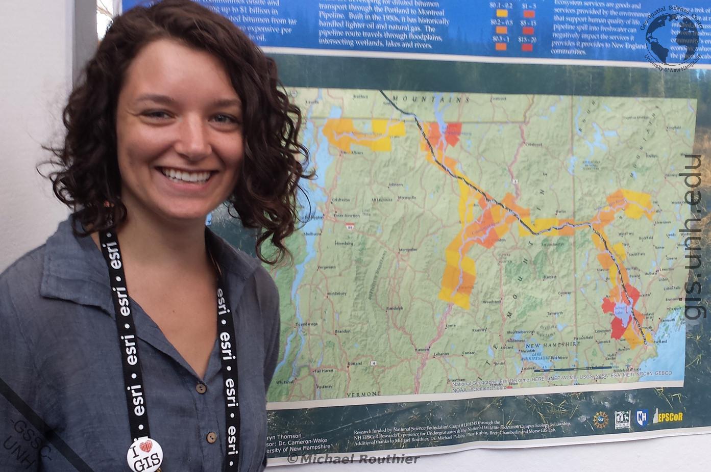
The GSSC is proud to provide mentorship experiences to undergraduate and graduate students through collaborations with multiple NSF and NASA programs. These mentorships provide students with hands-on training in the use of geospatial methods and techniques in real-world research projects. Students work side-by-side with professional researchers, geo-scientists, and information technologists to design and implement research projects for presentation at university, regional, and national conferences.
Contact us here to find how you can apply to be part of our Geospatial Science Mentoring Program.
GSSC staff are available to conduct professional on-site and off-site training seminars and workshops in the use of geospatial skills and technologies used by individuals and organizations in business, education, and government. Some of these skills and technologies include:
Seminars and workshops range from two hours to a few weeks in length.
Contact us here for more information about how to schedule the ESRC GIS lab for on-site training or how to include us in your next education proposal.
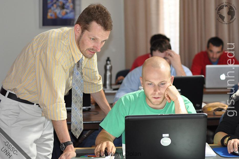
The GSSC regularly conducts outreach activities including:
Contact us here to discuss how the GSSC outreach activities can help you, or your class or organization.
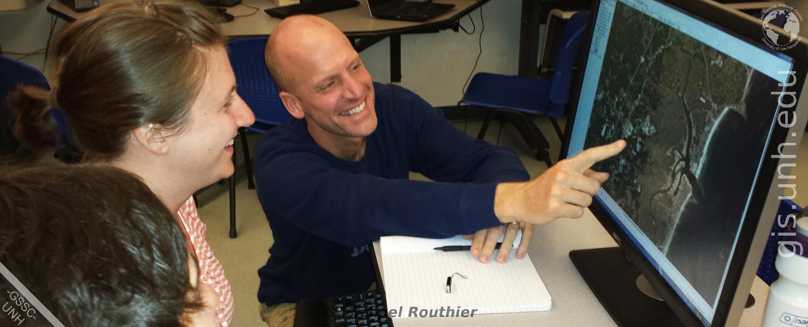
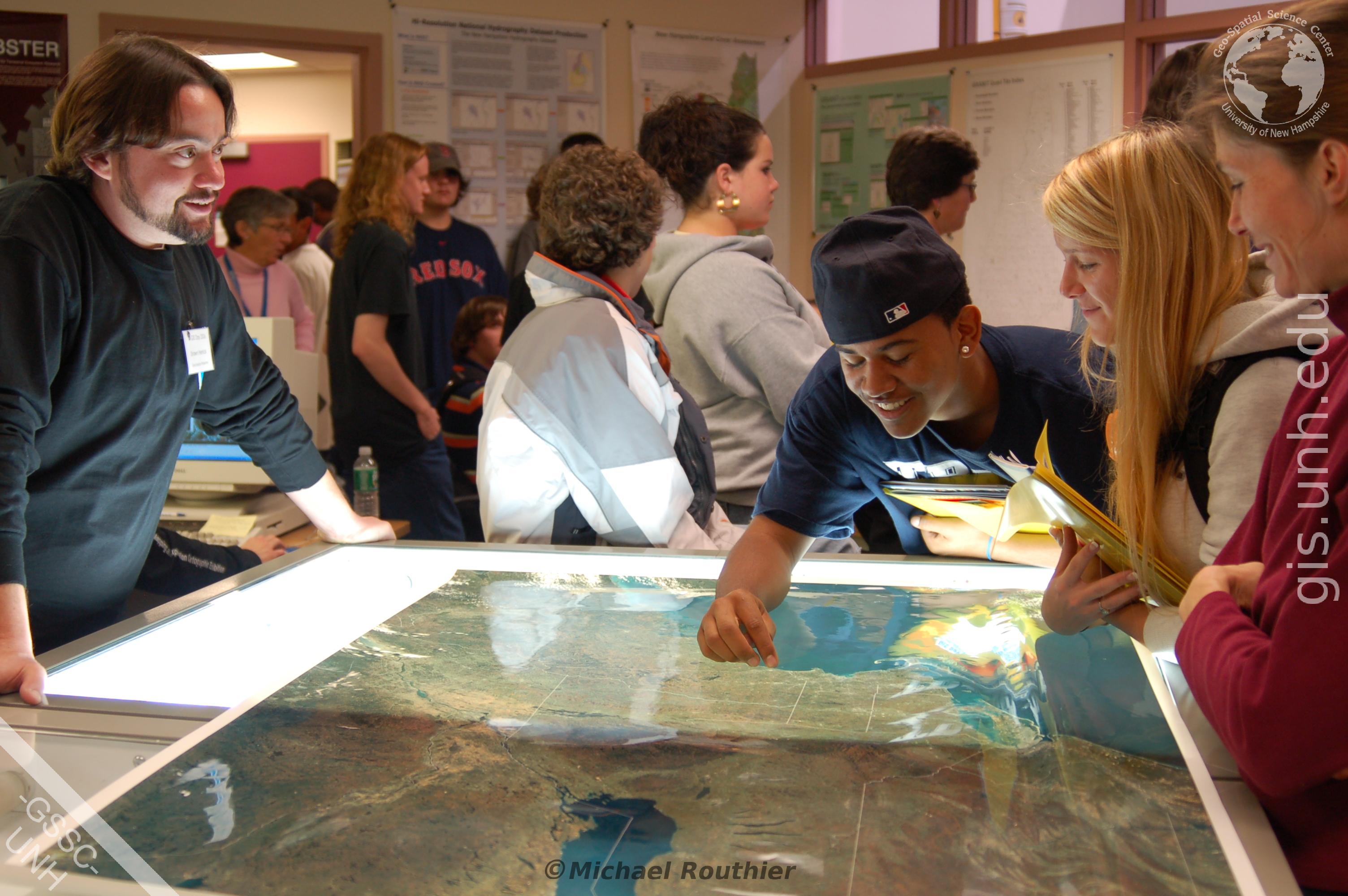
The GSSC has hosted over 5000 high school students, college students, professionals, and educators at the University of New Hampshire's GIS Day Geospatial Science Conference events. Today, the GSSC participates in new conference activities on the Durham, New Hampshire campus.
Contact us here to find out how to participate in one of our upcoming Geospatial Science Conferences.
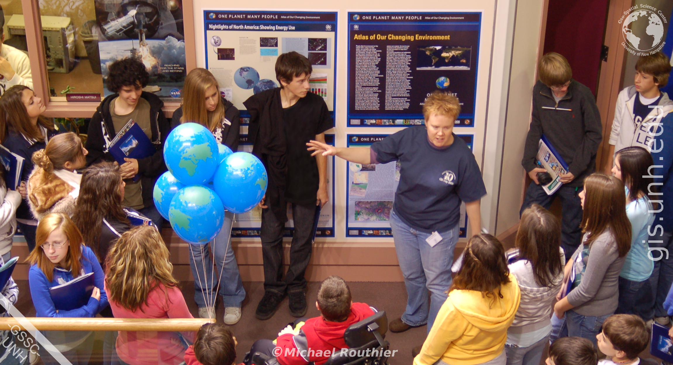
We also provide open access to our Geospatial Science Computing Facility for EOS and GSS program students, researchers, and department collaborators. This cluster of state-of-the-art computer systems is equipped with high-speed processors, large amounts of memory, and the latest versions of commercial and open source GIS, image processing, and GPS software. This GSSC computing facility, maintained and staffed by ten professional GSS specialists, is located in Room 253 of Morse Hall.
Please see the laboratory manager for access or contact us here for more information.
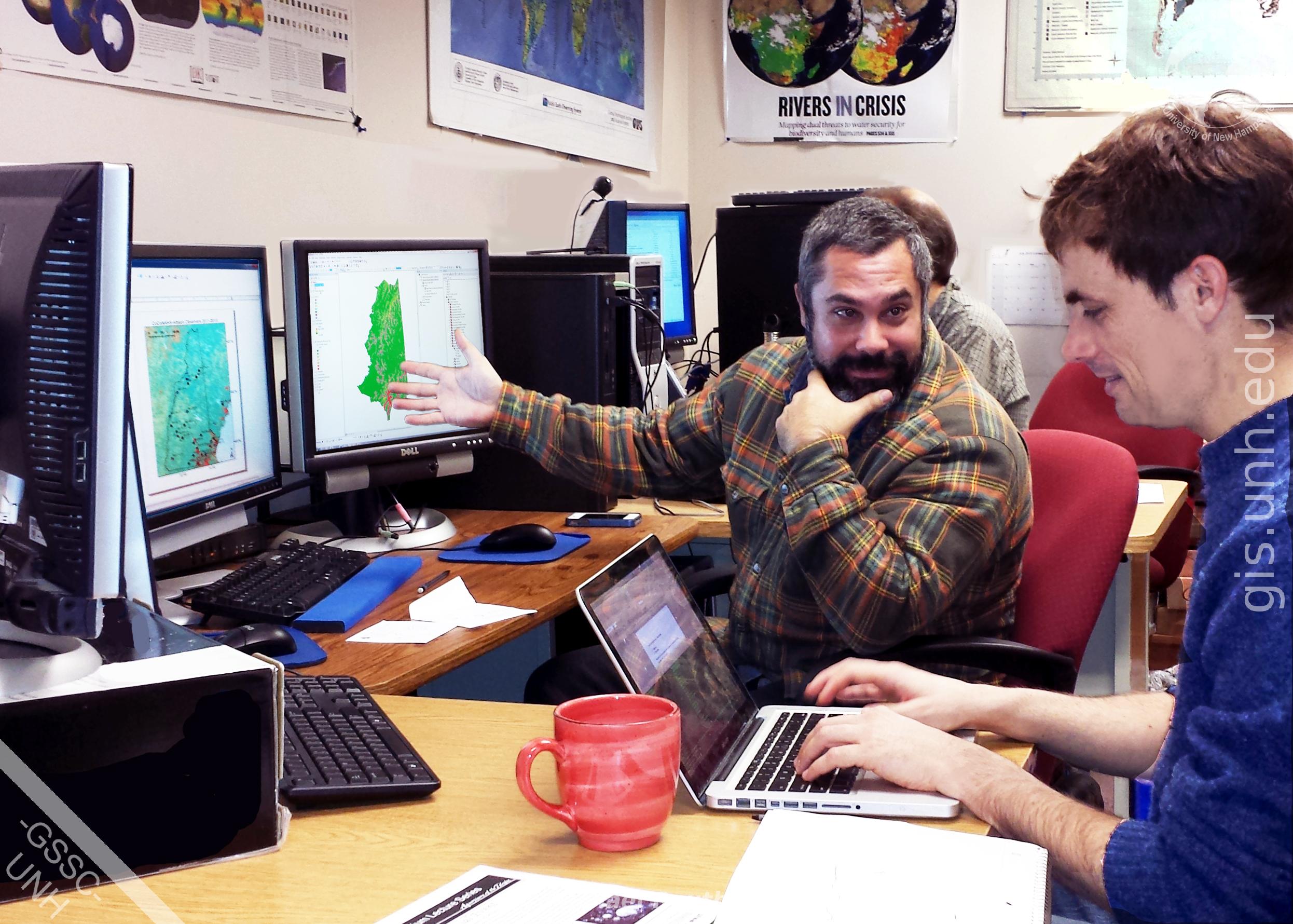
GSSC faculty and researchers participate in GSS high school and middle school STEM education activities such as:
Contact us here to discuss how GSSC educators and researchers can work with you, your class, or your organization in your upcoming STEM projects.