Geospatial Science
The UNH GSSC is a collaborative research center that provides Geospatial Services, Products, Data, Research Expertise, and Educational Programs to Academia, Government, and Industry.
Let us help you bring your next Geospatial Science project from idea to reality.
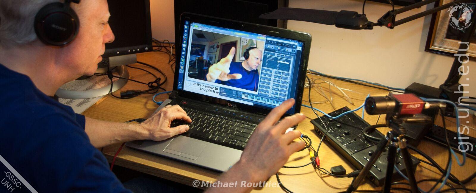
Sonify Your Data
Let the GSSC sonify your data to promote your work via an Internet Radio Station. Find out more here.
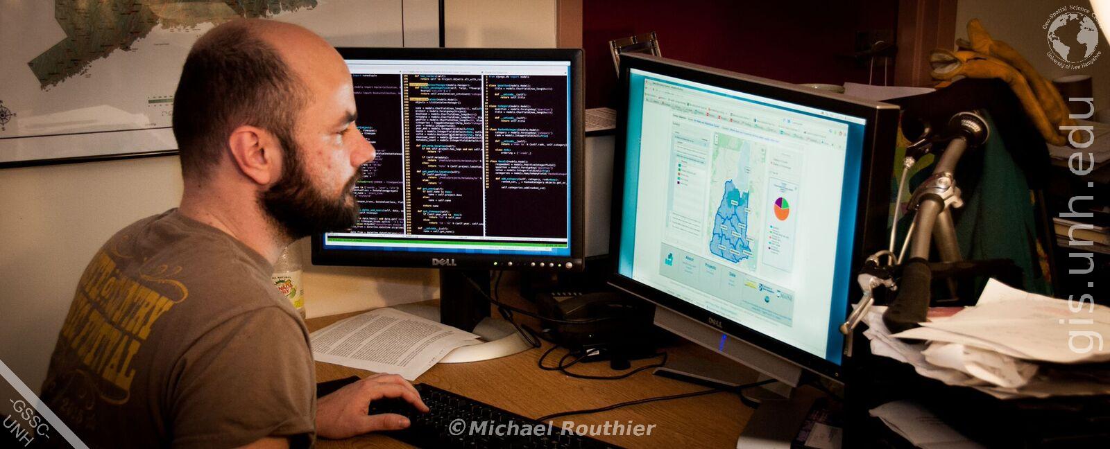
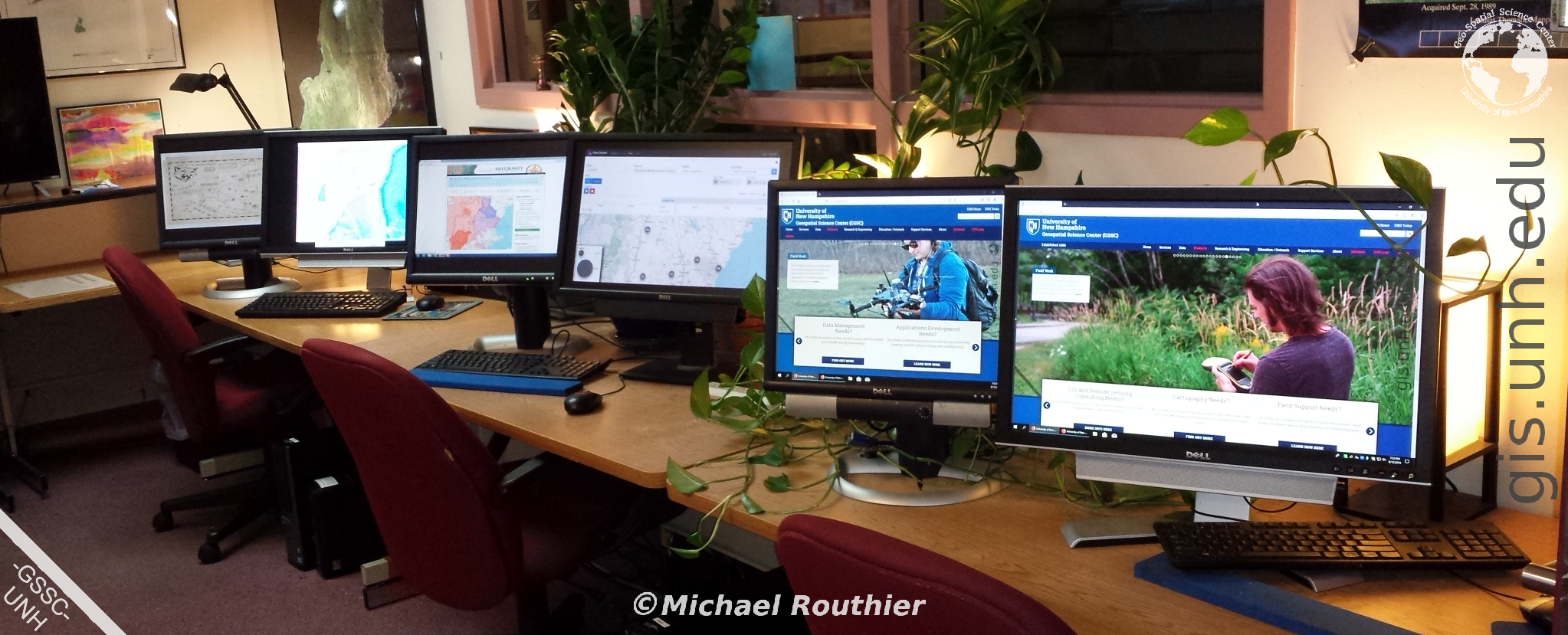
Web Mapping
Let the GSSC help you build Web Mapping applications that feature your data on-line. Find out more here.
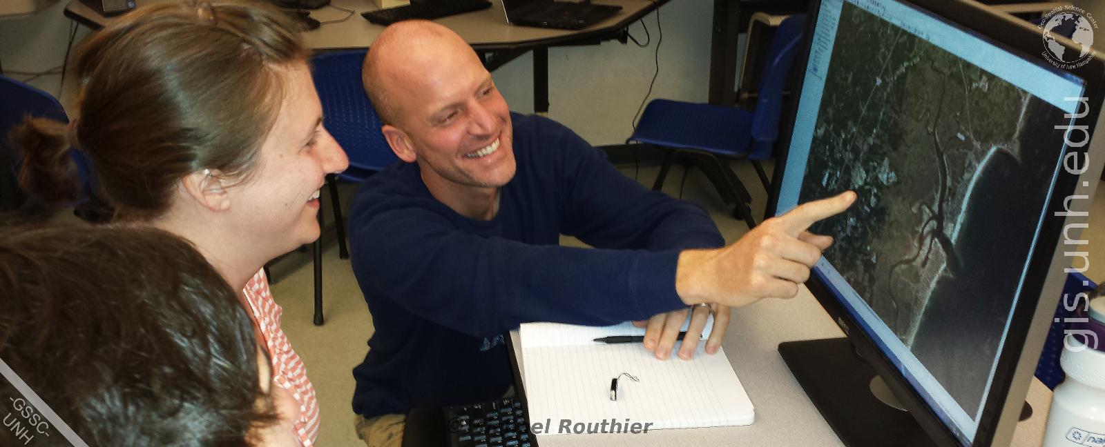
GIS and Remote Sensing
Let us help you design and implement your GIS and Remote Sensing projects. Find out more here.
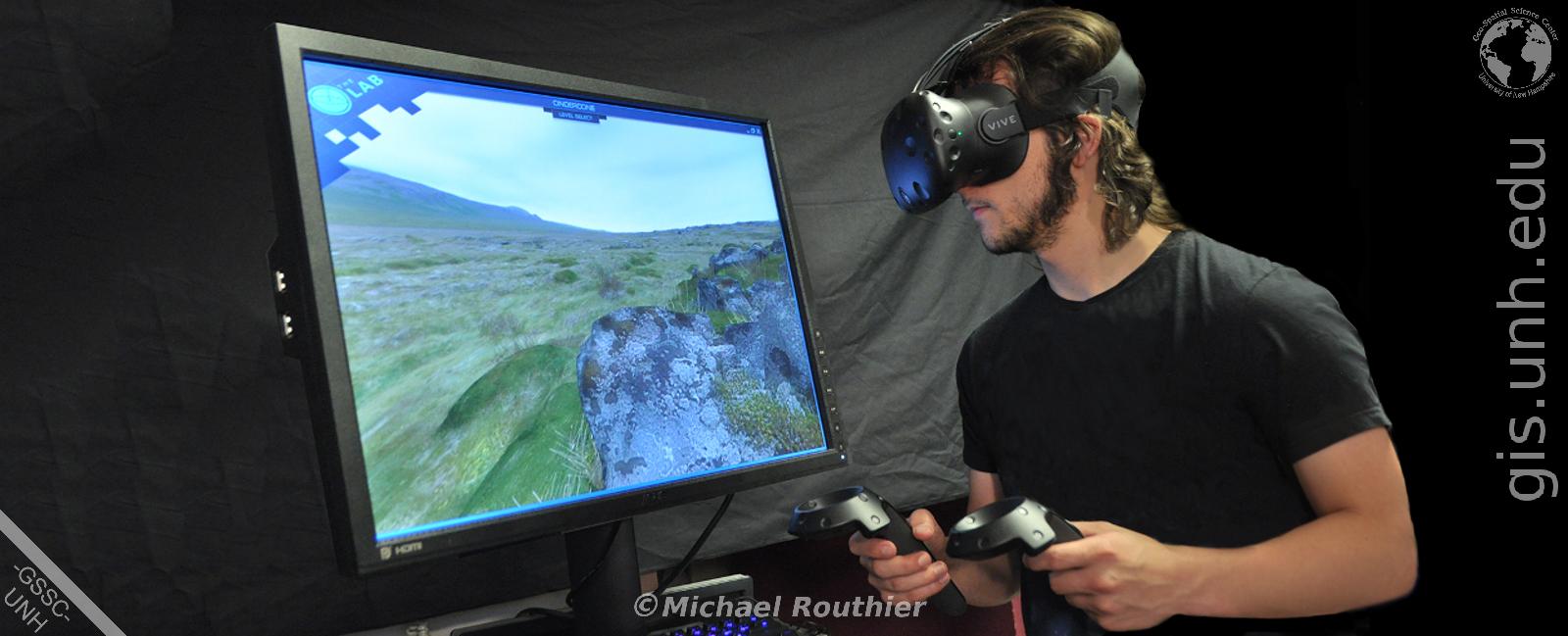
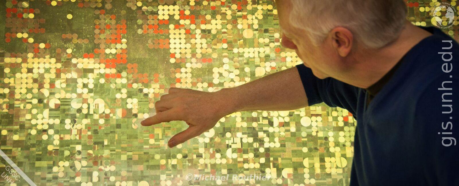
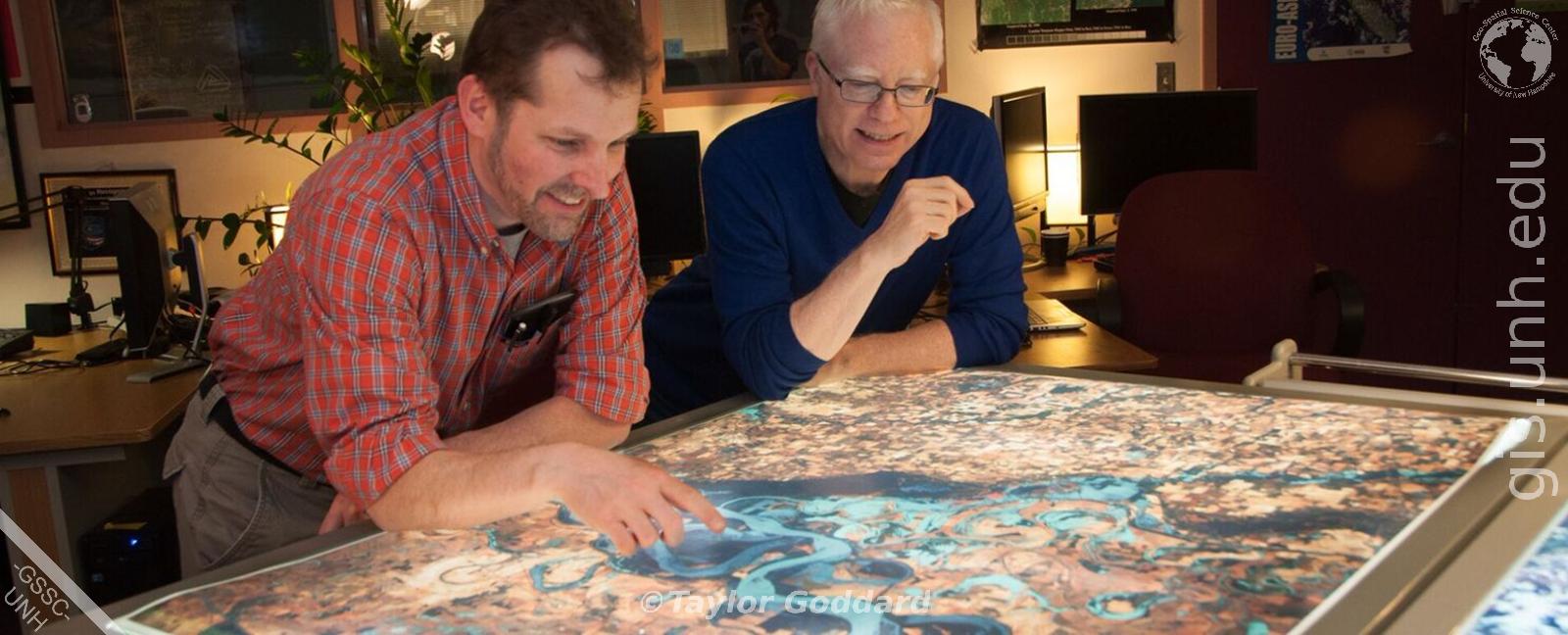
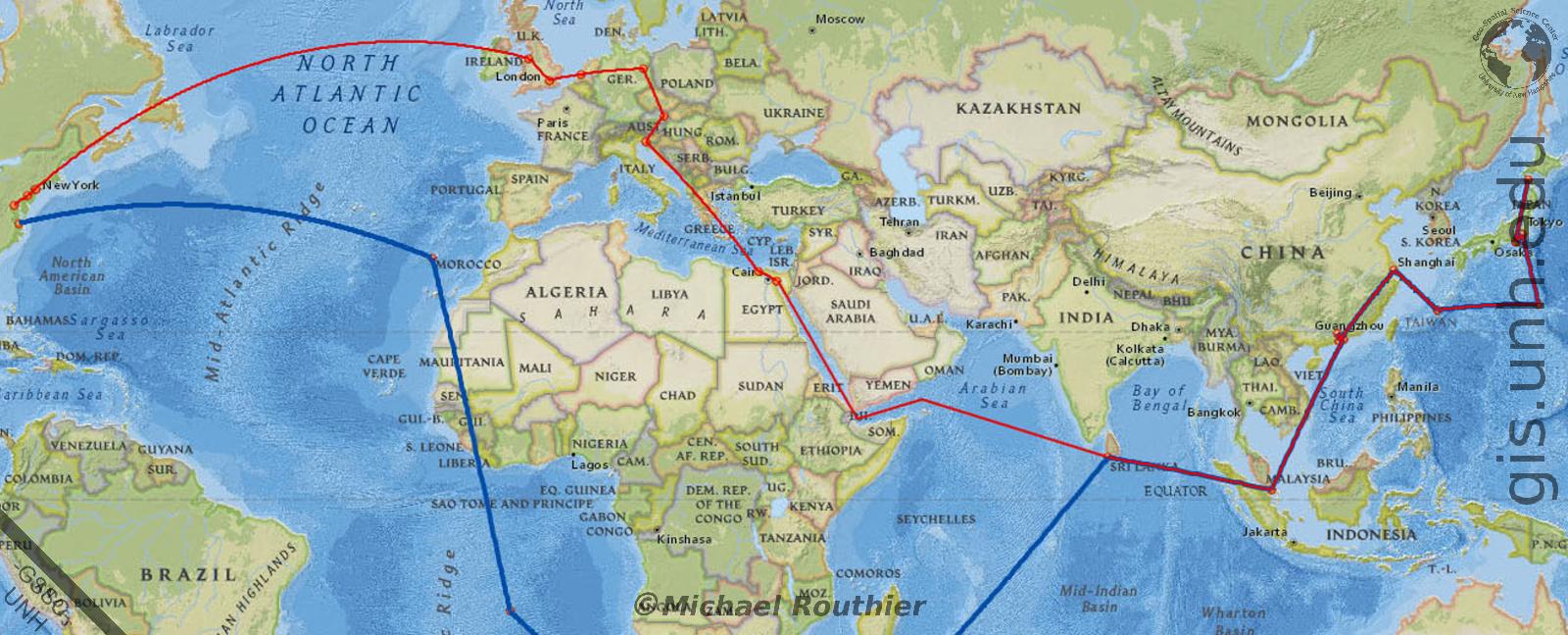
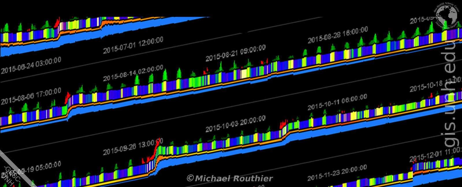
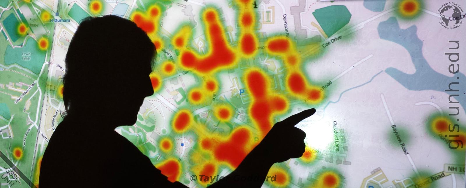
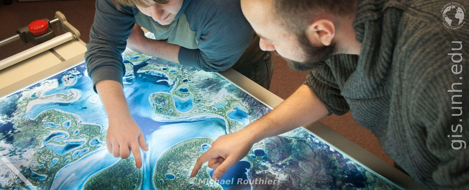
Data Visualization
Let the GSSC help you visualize your natural or social science data in new and interesting ways. Find out more here.
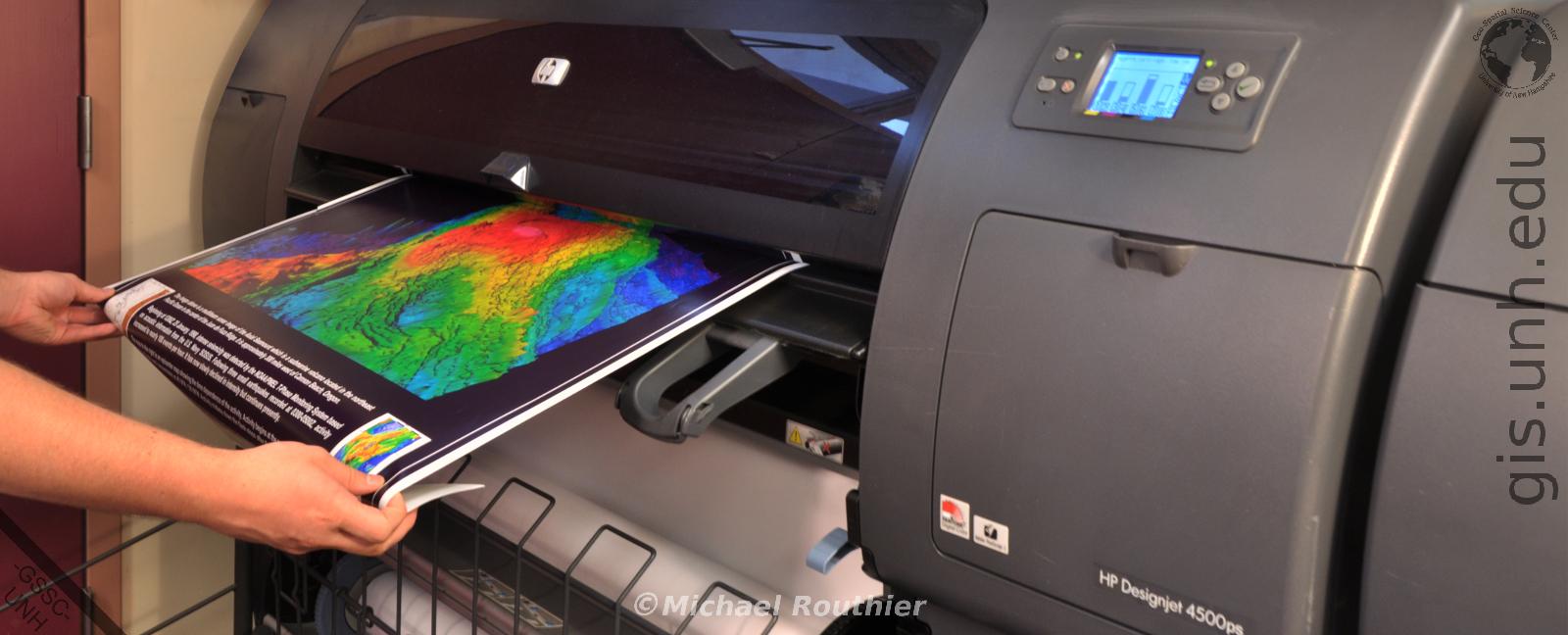
Map and Poster Printing
Let us help you print or scan your large format maps and research posters. Find out more here.
GPS Loan Program
Use the GSSC GPS Equipment Loan Program for your next field campaign. Find out more here.
Ground Truthing
Let the GSSC help you complete Ground Truthing and coordinate capture for your next remote sensing project. Find out more here.
Map Tours
Let the GSSC help you create a Map Tour of your social and natural science data. Find out more here.
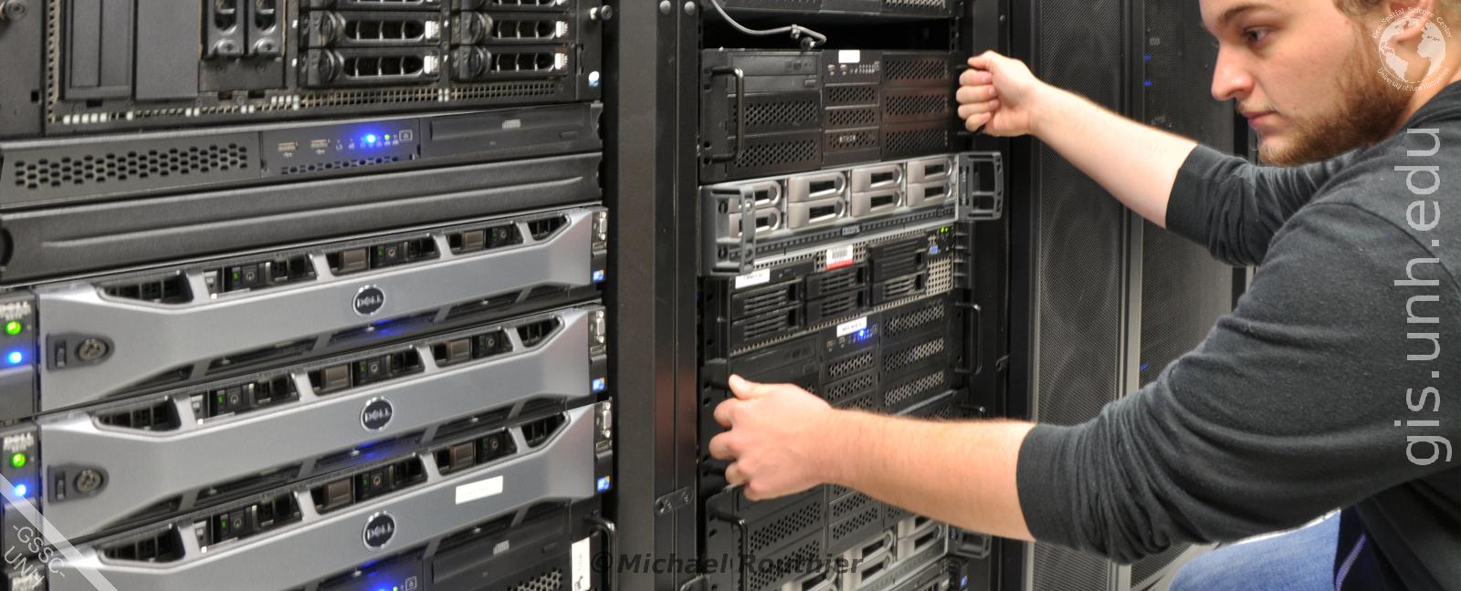
Data Archiving
Let the GSSC help you Store and Disseminate your social and natural science data. Find out more here.

Research Collaboration
Let's collaborate! Do you have a GREAT idea that you would like to collaborate on for your next natural or social science project? Contact us here to chat.
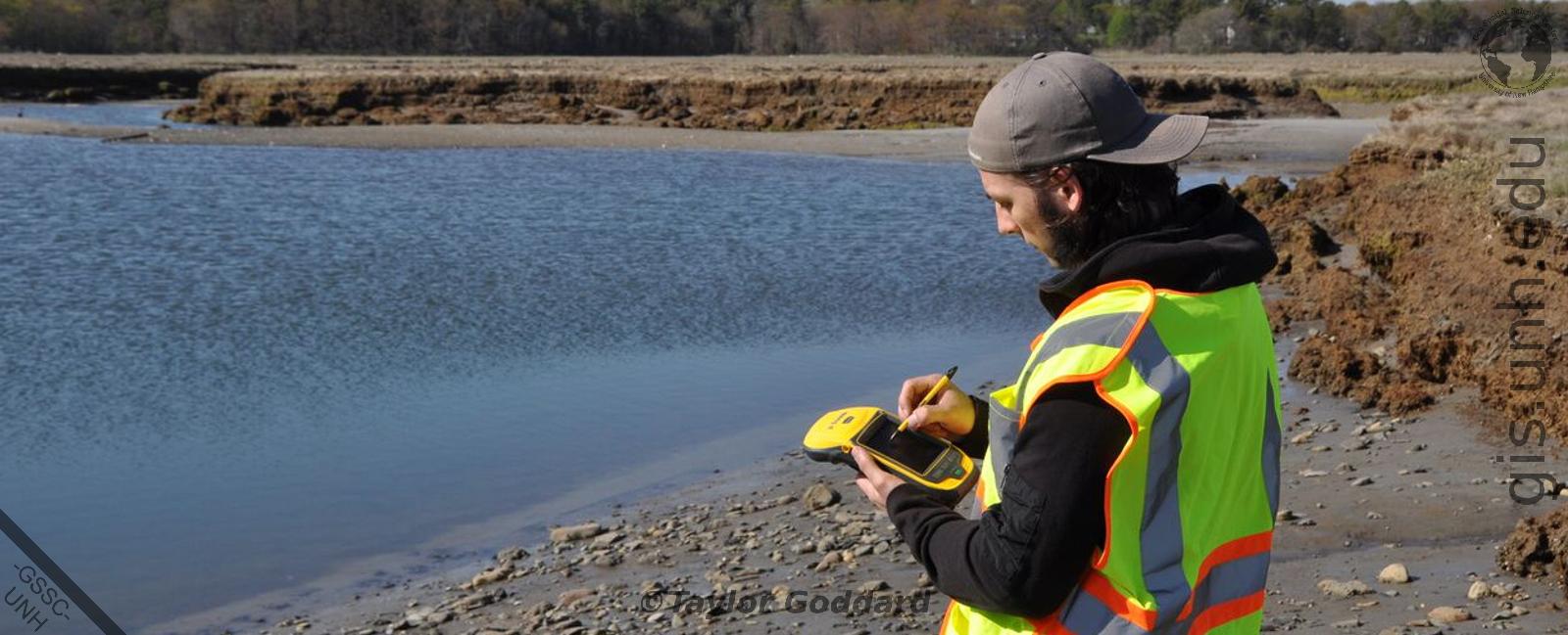
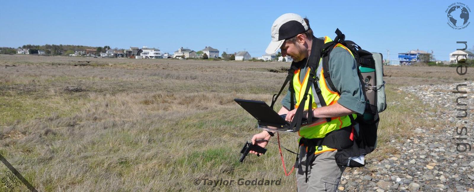
Field Work
Let us help you complete your Field Work, including GPS and laser range finder coordinate capture, data sampling, and field photography. Find out more here.
GSS Education
Let the GSSC help you learn new Geospatial Science skills to advance your educational and career goals. Find out more here.
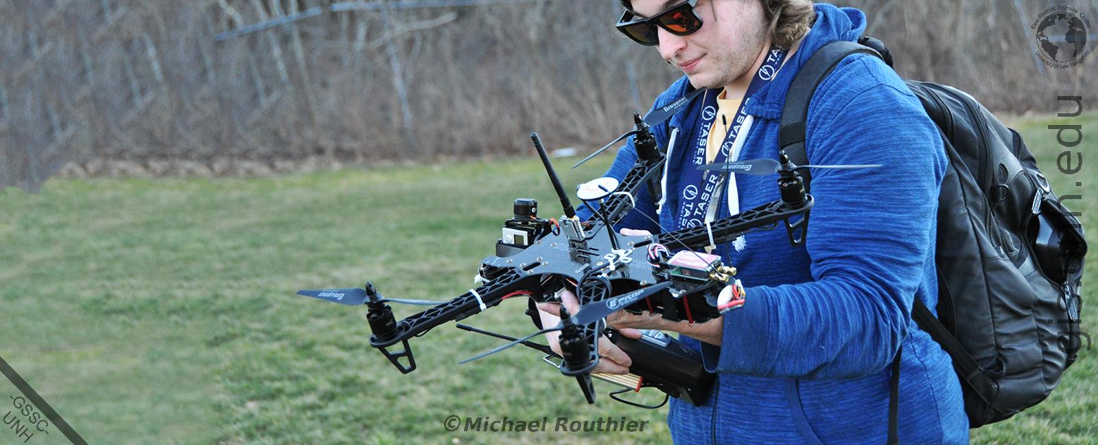
Field Work
Let us help you with your low altitude UAV remote sensing, GPS coordinate capture, environmental sensor deployment, and field photography needs. Find out more here.
Data Visualization
Let the GSSC help you visualize your natural or social science data in new and exciting ways. Find out more here.
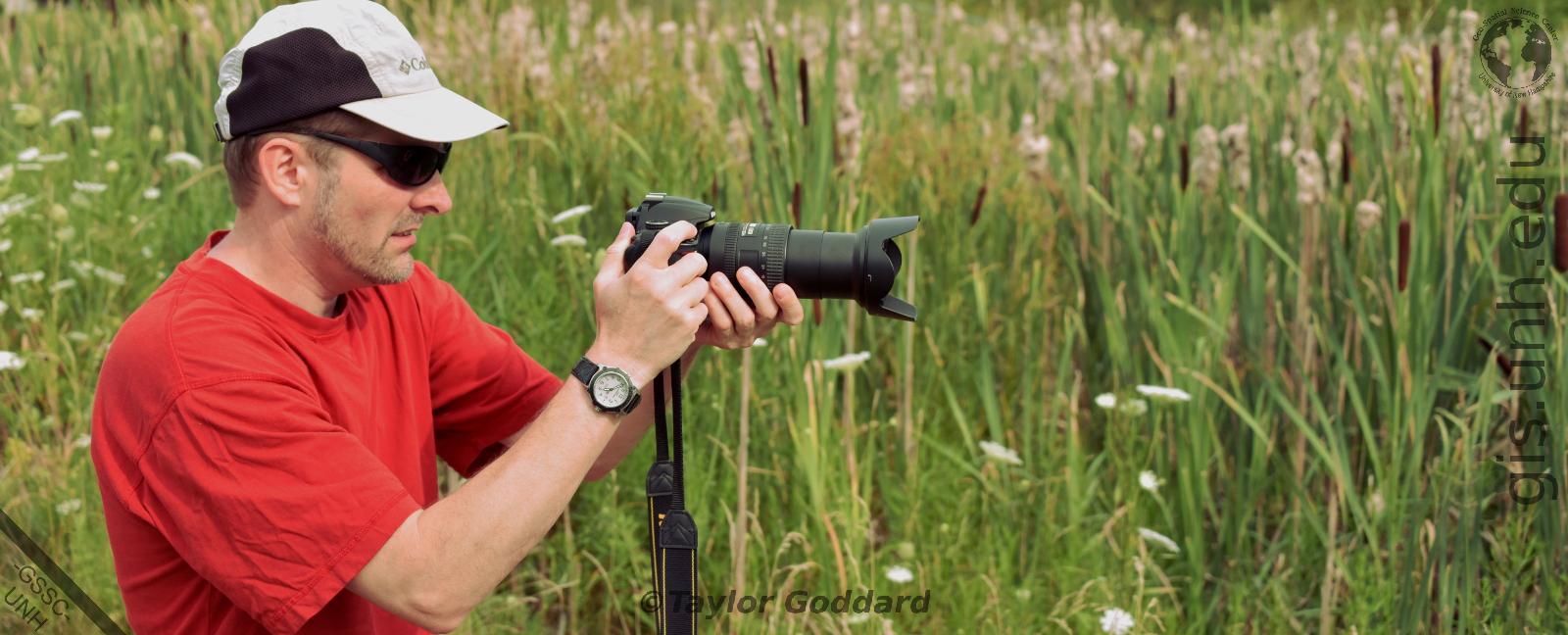
Field Photography
Let us help you complete Field Work, including field photography, ground survey, GPS coordinate capture, and data sampling. Find out more here.

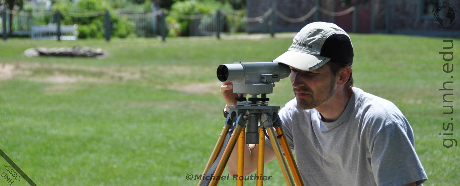
Field Work
Let us help you complete Field Work, including ground survey and GPS coordinate capture, data sampling, and field photography. Find out more here.

GSS Certificate
Apply to the UNH Geospatial Science Graduate Certificate Program and gain new geospatial science skills that will enhance your career. Find out more here.
Data Visualization
Let the GSSC help you visualize your natural or social science data in new and interesting ways. Find out more here.
GIS and Remote Sensing
Let us help you design and implement your GIS and Remote Sensing projects. Find out more here.