The GSSC specializes in Database Design, Data Archiving and Web Mapping Services for natural and social science data. This includes support of point, time series, imagery, model results, and survey data. Our data management services include data acquisition, data QA/QC, data archiving, data query, data visualization and sonification, and data dissemination. To find out more about these services click on their titles to the left.
Contact us here for help with your Data Management needs.
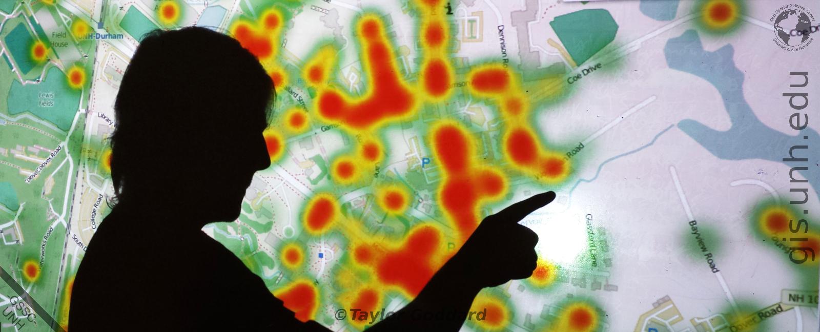
The GSSC provides a wide variety of GIS and Geo-Analytics support to Process, Align, Explore, and Analyze your geospatial data.
Contact us here for help with your GIS and Geo-Analytics needs.
The GSSC is staffed with Remote Sensing and Image Processing experts, as well as UAV pilots. We provide collaborative remote sensing and analysis support services through the use of:
Contact us here for help with your GIS and Remote Sensing consultation needs.
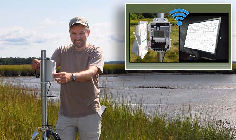
The GSSC is staffed with Environmental Sensor Deployment experts.
We provide wireless streaming sensor and sensor network deployments
for the monitoring of multiple indoor and outdoor environmental
variables including:
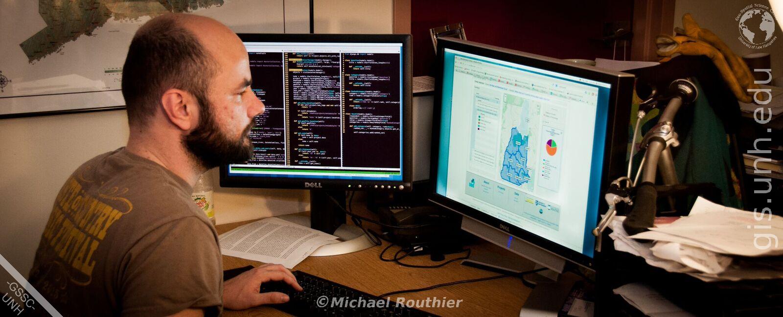
The GSSC is a fully equipped Applications Development center staffed with professional computer programmers who specialize in the development of scientific solutions to natural and social science questions. Our work is regularly funded through grants from NASA, the National Science Foundation, NOAA, and National Geographic Society.
Put our specialty to work for you in:
Please see the NH EPSCoR Data Discovery Center website or
the NH GRANIT LiDAR website for examples of our work.
Contact us here for help with your Application Development needs.
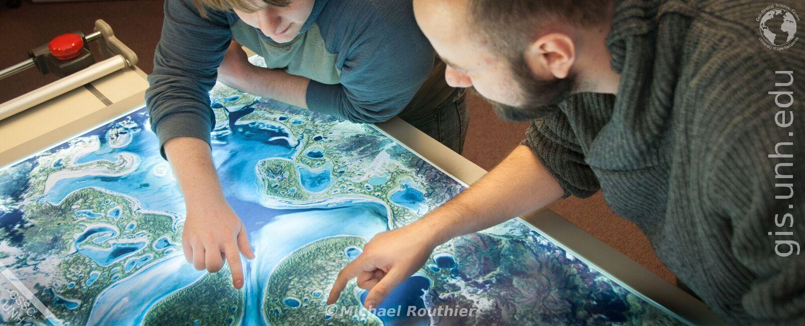
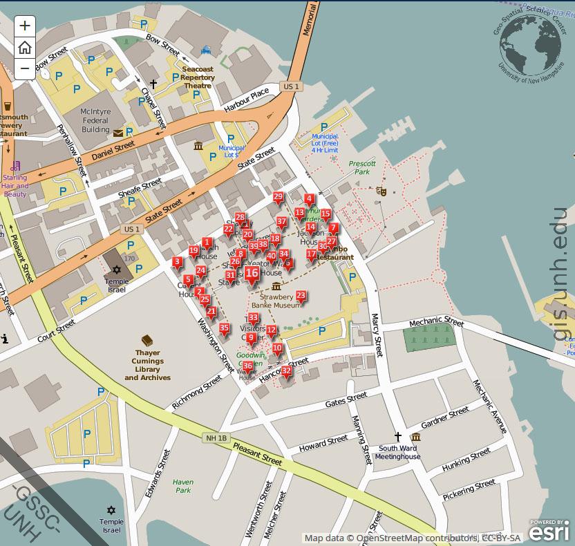
The GSSC provides a wide variety of Cartography and Story Map support services to help bring your data alive in map or story map from.
Contact us here for help with your Cartography and Story Map Making needs.
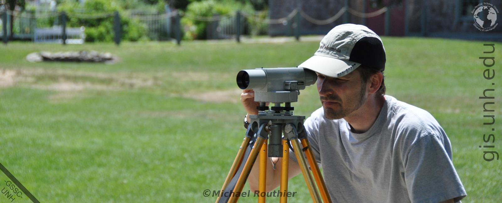
The GSSC provides Geospatial Field Support Services to current and ongoing projects through the use of the following:
Contact us here for help with your Geospatial Field Support needs.