The Geospatial Science Center (GSSC) is an embedded center within Earth Systems Research Center (ESRC) at the UNH Institute for the Study of Earth, Oceans, and Space (EOS). It's staff specializations in GIS, web mapping, remote sensing, spatial analysis, environmental sensor development, data visualization, and data sonification for the natural and social sciences.
Our collective mission is to study, use, and promote geospatial science applications, methods, and data to help promote the advancement of science, research, and education.
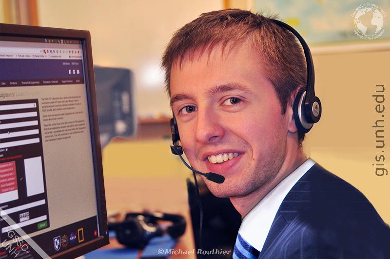
To learn more about the Geospatial Science Center (GSSC) or to find out more about how we can help you with your upcoming projects please contact us here.
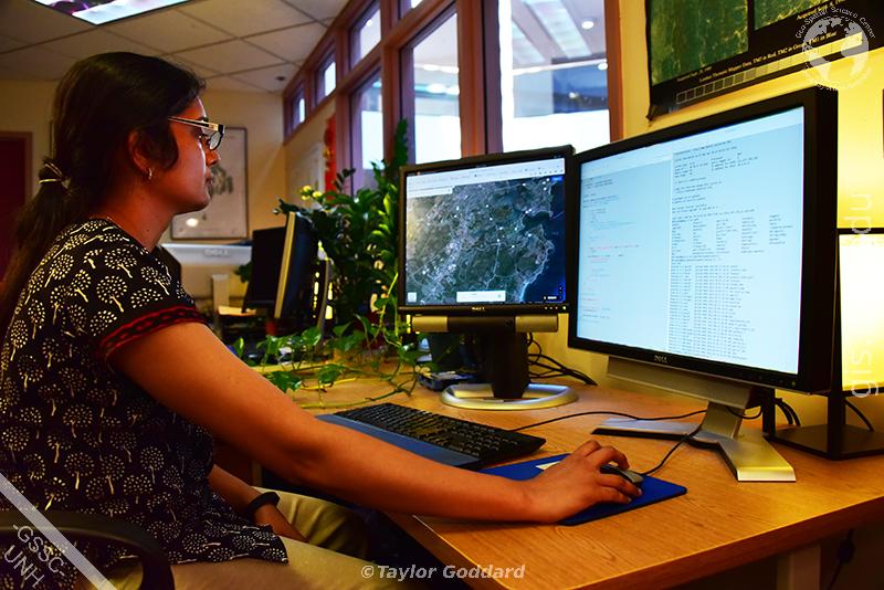
The GSSC is always seeking highly motivated, bright, and creative staff and students to work with us. We currently employ over a dozen geospatial science computer programmers, GIS and remote sensing specialists, and geospatial technicians. Many students who have worked with us have gone on after graduation to work for nationally known organizations including ESRI, Rand McNally, HERE, CDM, EMC, and UNH.
If you are interested in working with a highly innovative and dynamic group using geospatial programming, web mapping, data archiving, GIS, remote sensing, crowdsource mapping, data capture, and digital cartography technologies, please contact us here.
For inquiries regarding any GSSC services, data, products, research and engineering specializations, education and outreach programs, or support services, please contact us via the web form below or via:
USPS: Geospatial Science Center
Earth Systems Research Center
8 College Road, Morse Hall. Room 253
Durham, New Hampshire, 03824
Phone: (603) 862-1954
Email: mike.routhier@unh.edu
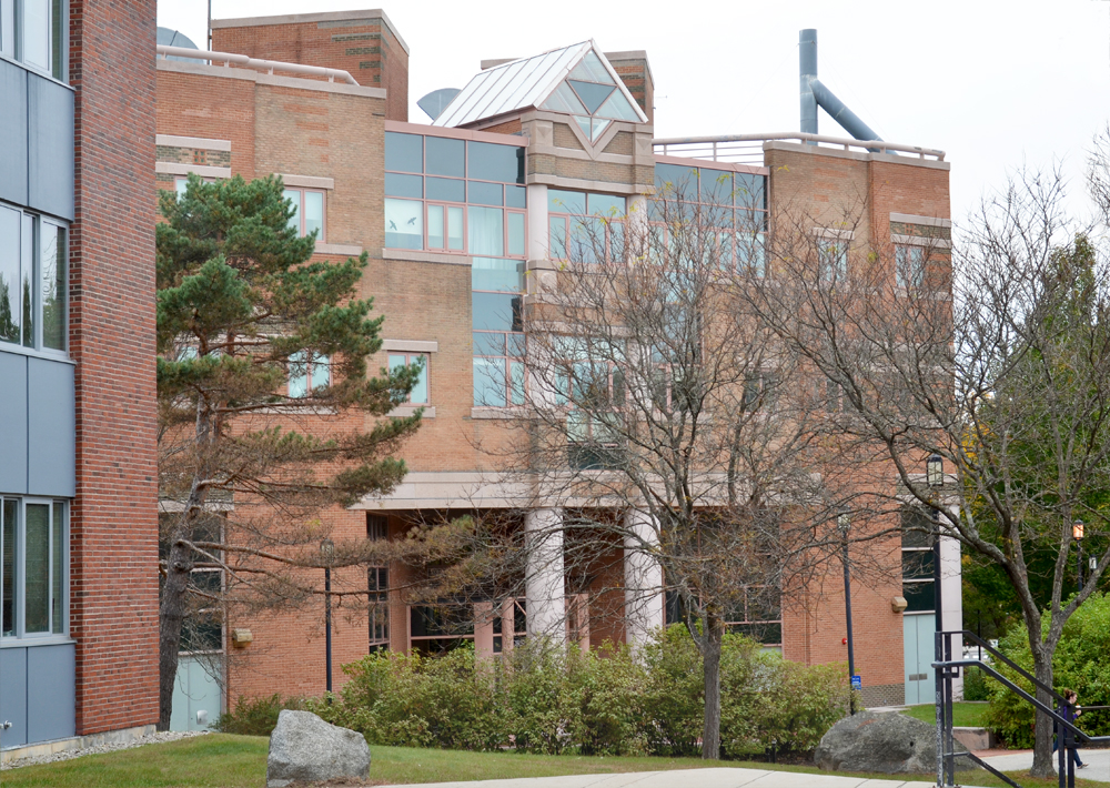
Location: Morse Hall, 8 College Road, Durham NH, 03824
Address: Geo-Spatial Science Center
Earth Systems Research Center
8 College Road, Morse Hall. Room 253
Durham, New Hampshire, 03824
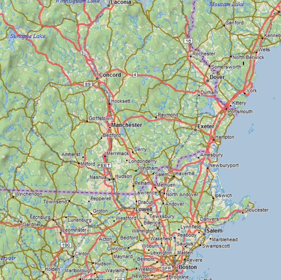
Travel I-95 North to the Portsmouth, NH interchange, take the Spaulding Turnpike (US 4 and NH 16 - Concord/White Mts) northwest for 5 miles; take EXIT 6W (last exit before toll), bear right on US 4 to Durham and Concord. Travel about 7 miles to EXIT 155A, bear left at bottom of exit. Continue traveling east through round-about, onto Main Street, Durham. At the traffic light, turn RIGHT onto College Road. Morse Hall is just at the top of the rise, less than 1/4 mile down College Road.
Follow Route 4 East to Durham. Exit on Route 155A, also marked University of New Hampshire. Turning right onto Route 155A. Traveling East, continue east through round-about, onto Main Street, Durham. At the traffic light, turn RIGHT onto College Road. Morse Hall is just at the top of the rise, less than 1/4 mile down College Road.
Traveling South on Route 16, take exit 6W Concord-Durham. Travel West on Route 4 to Durham and take the exit marked University of New Hampshire (Route 155A). Turn left at bottom of exit and continue east through round-about, onto Main Street, Durham. Turn RIGHT at the traffic light. Morse Hall is just at the top of the rise, less than 1/4 mile down College Road.
Boston, you may use the C&J Trailways Airport Bus Service. Advance reservations are not required. For further information and reservations, call 603-430-1100, or, outside New Hampshire, 800-258-7111.
Travel west on AIrport Road until you reach Brown Avenue. Merge onto I-293 South / NH 101-East toward Portsmouth. Merge onto I-93 North / NH 101 East toward Portsmouth. Keep right and take NH-101 East, exit 7, toward Portsmouth / Seacoast. Traveling on NH 101 East approximately 19 miles, take exit 7, turning left onto Route 125 North, in Epping. Travel Route 125 North approximately 9 miles to a roundabout where you take the first exit onto Route 4 East. Travel Route 4 East approximately 2.4 miles and exit to the right onto Route 155A. Turn right onto Route 155A traveling East, and continue onto Main Street, Durham, turning right onto College Road. Morse Hall is at the top of the rise, on the left, less than 1/4 mile down College Road.
Depart C&J Trailways Bus Lines across from South Station in Boston. For further information call 603-742-5111 from New Hampshire or 800-258-7111 outside New Hampshire.
Morse Hall is located at Latitude: 43.134766, Longitude: -70.935690.
Information about Visitor Parking on UNH Campus
Morse Hall on UNH Campus

Click here to download map and directions [pdf]
The GSSC, having its roots dating back to 1986, has a long and established record of working on high impact projects. Originally founded to help support the geospatial analysis needs of the UNH Institute for the Study of Earth Oceans and Space (EOS) and the NH GRANIT State GIS data clearinghouse, the GSSC quickly grew to work on many projects of local, regional, national, and international scope.
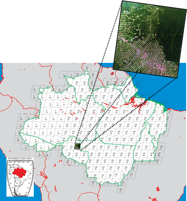
To date, the GSSC has supported multiple multi-million dollar grants and hundreds of projects with study areas on six of the seven world continents including Antarctica.
To find out more about the history of the GSS contact us here.